
Coming Together
Although it seems like Nova Scotia has always been part of one landmass, the province is actually made up of several distinct territories that were once located an ocean apart. The land through which the Shubenacadie Canal Waterway runs, known as the Meguma Terrane, formed about 515 million years ago, as sediment from the ocean gradually built up and solidified along the coast of the ancient supercontinent Gondwana. At this time, this land was located as far south as Antarctica and bordered what would later become Morocco.
470 million years ago, the Meguma Terrane split from Gondwana and began drifting north. 80 million years later, it collided with another archaic continent, Euramerica, uniting what would later become Nova Scotia. An ancient fault line running from Cobequid Bay (part of the Bay of Fundy) to Chedabucto Bay marks the location of this collision. This amalgamation of continents also produced the large granite batholiths that mark the landscape of places like Peggy’s Cove today.
Changing Climate
Since the formation of Nova Scotia, the province has experienced a huge variety of climate and geography. Each of these periods has left clues behind, with some hidden underground and others being right in front of our eyes.
Some of the first known rivers and lakes in the area of the Shubenacadie Canal Waterway formed 365 million years ago. The remains of microscopic algae living in these ancient waterways eventually formed oil and natural gas. These freshwater habitats gave way to a large inland sea, which formed as Nova Scotia was pushed toward the centre of the supercontinent Pangaea. The Windsor Sea left behind plentiful gypsum deposits as it evaporated 325 million years ago. The former seabed gradually turned into swampy inland rainforests, with peat moss growing in these bogs eventually becoming coal deposits.
Beginning 295 million years ago, the climate of Nova Scotia started to fluctuate between tropical rainforests and arid deserts. This climate pattern held throughout the age of dinosaurs, with the remains of some of these Jurassic forests being found today in the Joggins Fossil Cliffs near Parrsboro. Nova Scotia’s coastline started to form 165 million years ago, when the new Atlantic Ocean split North America and Europe.
This illustration compares the maximum thickness of the Nova Scotian ice sheets with the modern skyline of downtown Halifax. It was inspired by Randall Munroe’s xkcd (external link).
Forming the Waterway
The present Shubenacadie Canal Waterway began to come together during the Quaternary ice age. Beginning 2.58 million years ago, these ice ages were intense periods of cold weather called glacial periods interspersed with warm periods called interglacials. Scientists actually believe we are currently in an interglacial, although some researchers think human-induced climate change may significantly postpone or even prevent the next glacial period.
The first ice sheets to cover the Maritimes formed about 500,000 years ago, reaching over one kilometre in thickness and extending as far as the Atlantic Ocean. These ice sheets were so heavy that they pushed the earth down beneath them, like pushing your hand into a sheet of foam. As they grew, they carried away soil and eroded the underlying bedrock; as they receded, they deposited this debris across the landscape. This cycle of growing and shrinking glaciers moving across the province continued for hundreds of millennia, with the ice sheets last reaching their maximum thickness about 24,000 years ago.
The movement of ice sheets across the Maritimes created deep gashes in the earth. These depressions filled with water as the glaciers melted, forming the extensive lakes and rivers of present-day Nova Scotia and the rest of Canada. They also left behind large boulders and exposed bedrock, which were eventually used as sources of stone for the building of the Shubenacadie Canal. Several of these rocks around the Fairbanks Centre still bear marks from 19th-century stonecutters’ tools.
The First “Shubenacadie Canal”
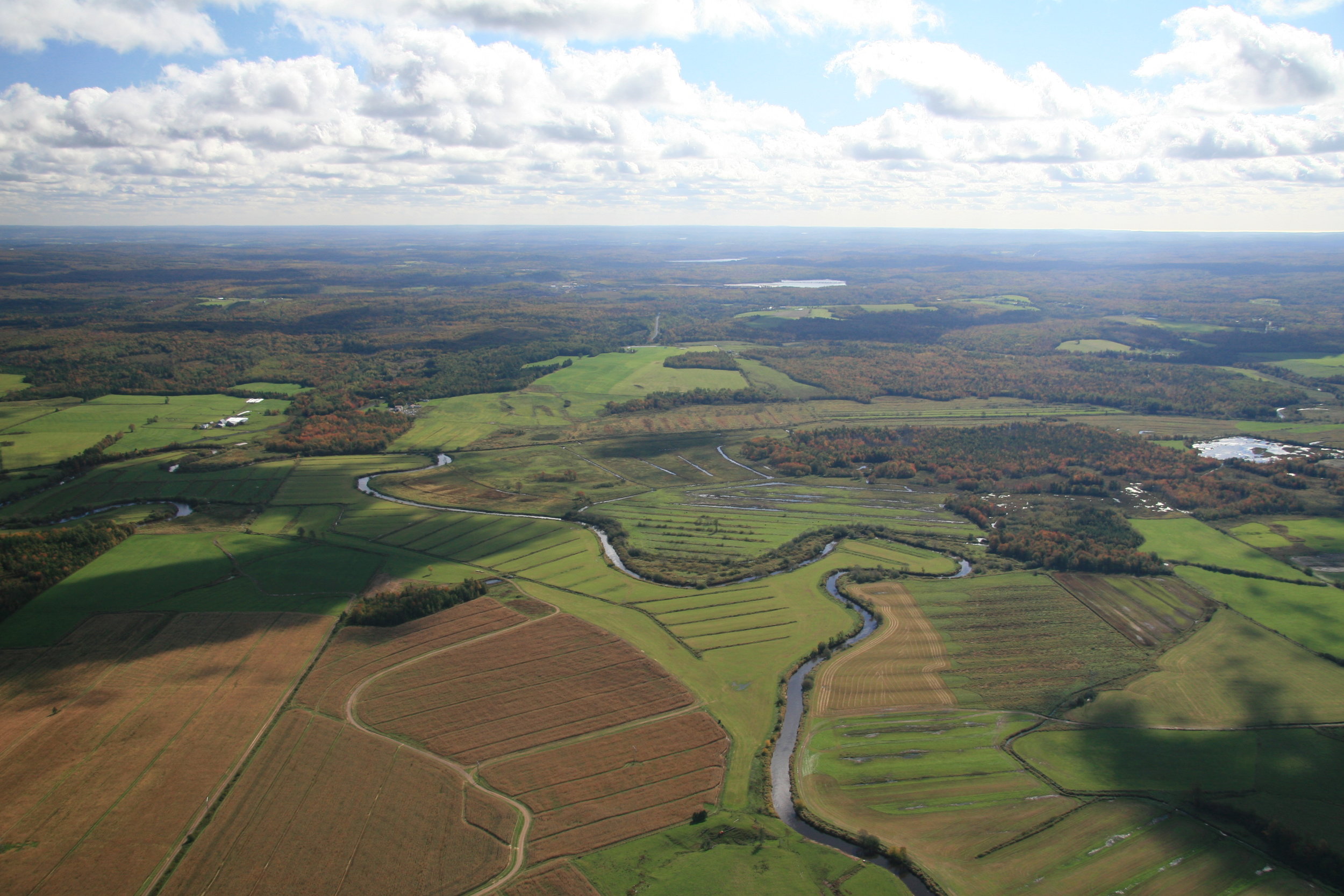
About 14,500 years ago, a remnant of the ice sheets that once covered the province still loomed over the lower Shubenacadie River valley. This glacier acted like a massive dam, preventing water from draining northward into the Bay of Fundy. Over time, this water flooded the entire Shubenacadie Valley under a massive lake. At its maximum extent, Glacial Lake Shubenacadie extended from the border of the glacier near Stewiacke south to Fall River and east into the Musquodoboit Valley, covering the whole area with up to 30 m (98 ft) of water above current surface levels. This giant lake formed and drained twice over a period of about 3,000 years, coinciding with the ebb and flow of the Fundy glacier.
Because the Shubenacadie River’s usual outlet to the Bay of Fundy was blocked, Glacial Lake Shubenacadie drained south toward the Atlantic Ocean via multiple ancient rivers. One of these rivers flowed through what are now Lake William, Lake Charles, Lake Micmac, and Lake Banook before reaching Halifax Harbour. While this watercourse had long since dried up by that time, this is the same route that the builders of the Shubenacadie Canal would later use to once again connect Halifax Harbour with the Shubenacadie River.